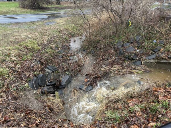
The rain that’s expected to persist in the D.C. area throughout Memorial Day weekend has already put a damper on one summer tradition.
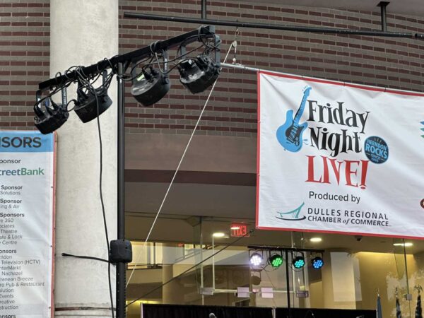
Tonight’s Friday Night Live! concert in Herndon has been canceled due to the inclement weather, organizers announced this morning (Friday).