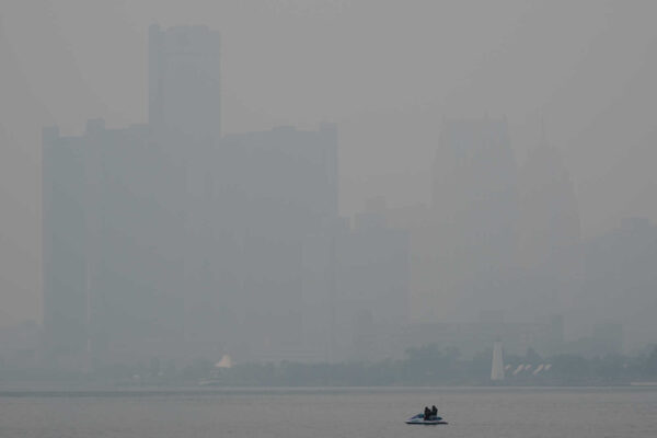
Skies look sunny where FFXnow is working in Vienna, as of press time, but the National Weather Service thinks that could change fast this evening.
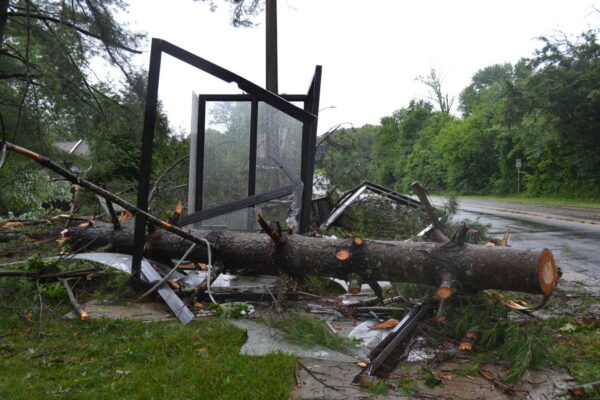
The NWS has issued a Tornado Watch for Fairfax County and the rest of the D.C. region. Scheduled to stay in effect until 10 p.m. today (Wednesday), the alert replaces a Severe Thunderstorm Watch issued earlier this afternoon.