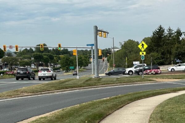
Fairfax County officials are seeking public feedback on a proposed walkway along Idylwood Road to improve pedestrian and bicycle access.
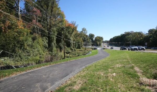
The project will replace existing sidewalk and asphalt trail segments to form a continuous walkway along the northwest side of the road, extending about 100 feet of sidewalk east of Idylwood Court and 170 feet of trail west of Hillside Drive.