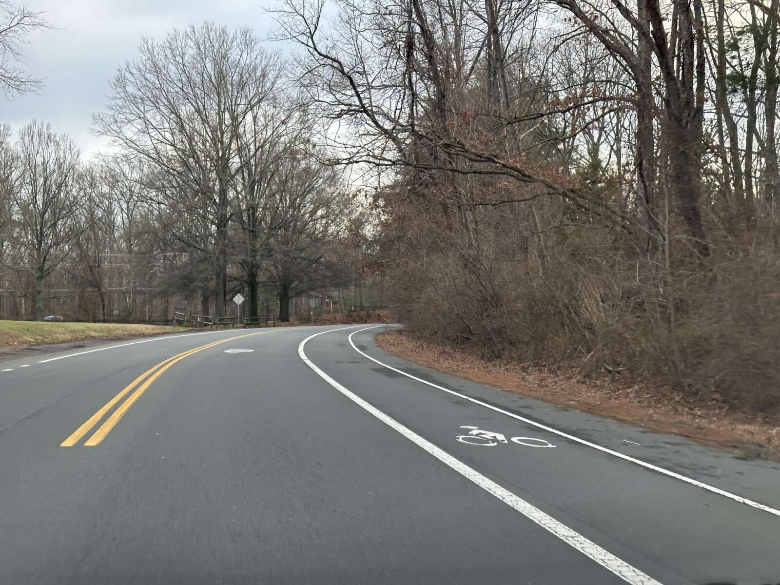
Paving and re-striping season has descended upon Fairfax County once again, ushering in a series of public meetings later this month on proposed projects that include bicycle lanes and improved crosswalks.
Hundreds of miles of roadway will be repaved and re-striped by the Virginia Department of Transportation (VDOT) as part of the program throughout the state.
“VDOT and the Fairfax County Department of Transportation (FCDOT) use this program as an opportunity to increase driver, bicyclist and pedestrian safety with road and crosswalk improvements while minimizing the financial investment in restriping work,” FCDOT says on its website.
The first meeting kicks off next Monday (April 8) at 7 p.m. for the Franconia and Mount Vernon districts.
In the Franconia District, bicycle lanes on Oakwood Road between Van Dorn Street and Crown Royal Drive are proposed, along with crosswalk improvements at Terrapin Place and at the Crown Royal Drive and Founders Hill Place intersection.
The Mount Vernon District is slated for:
- Bike lanes on Laurel Crest Drive between Silverbrook Road and Douglas Fir Drive
- Bike lanes on Old Mount Vernon Road between Drews Court and Maryland Street
- Crosswalk improvements at Laurel Crest Drive and Paper Birch Drive
The Hunter Mill District’s meeting on April 9 will focus on Center Harbor Road in Reston, where bicycle lanes are proposed between Wiehle Avenue and Reston Parkway, and crosswalk improvements proposed at the Sundial Road intersection.
The Providence District meeting is set for April 10, with bike lanes proposed on Anderson Road between Birdwood Avenue and Magarity Road. A Capital Bikeshare station is also proposed near the intersection of Anderson Road and Dartford Drive.
Meetings for the Braddock, Mason and Springfield Districts are slated for April 11. Braddock is expected to have the following projects:
- Bike lanes on Heming Avenue between Heming Place and Braddock Road
- Crosswalk improvements at Heming Avenue and Hogarth Street
- Crosswalk improvements on Heming Ave at Elgar Street and Axton Street
Springfield is only slated for one road restriping that would add crosswalk improvements on Center Road and Garden Road.
The Sully District has the most proposed changes, which will be discussed at a meeting on April 23 at 7 p.m.:
- Bike lanes on Walney Road between Westfields Boulevard and Westmore Street
- Bike lanes on Field Encampment Road between Golden Oaks Lane and Centrewood Drive
- Crosswalk improvements on Field Encampment Road at Cider Barrel Circle and St. Germain Drive
- Crosswalk improvements at Compton Village Drive and Bradenton Drive
Paving begins in the spring and concludes in November. Exact dates for each project will be available 10 days before work is expected to begin.
Work hours are usually limited to outside of rush hours, although residents can expect work vehicles in their neighborhood during the project.
Links for each web meeting are available on FCDOT’s website, along with dial-in information.
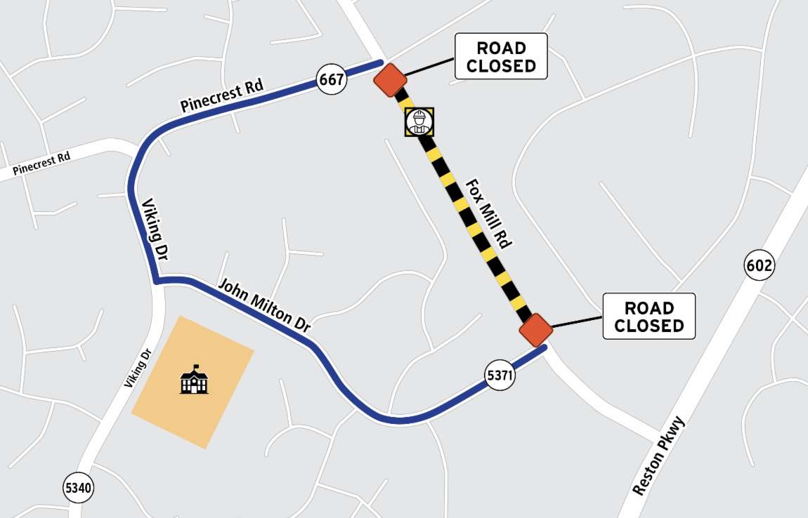
Fox Mill Road will be closed at the beginning of next month to allow for a pipe replacement.
Virginia Department of Transportation crews are replacing a drainage pipe, prompting the closure between Pinecrest Road and John Milton Drive in Herndon on Monday, April 1 from 9 a.m. to 2:30 p.m.
Individuals who need to access properties along Fox Mill Road will still have access, but drivers will not be allowed to go beyond the point where the pipe is being replaced, which will be located roughly at 2516 Fox Mill Road near Pinecrest Road.
“Through traffic will be detoured via Pinecrest Road, Viking Drive (Route 5340) and John Milton Drive back to Fox Mill Road. Drivers are asked to follow posted detour signs,” VDOT said in a press release.
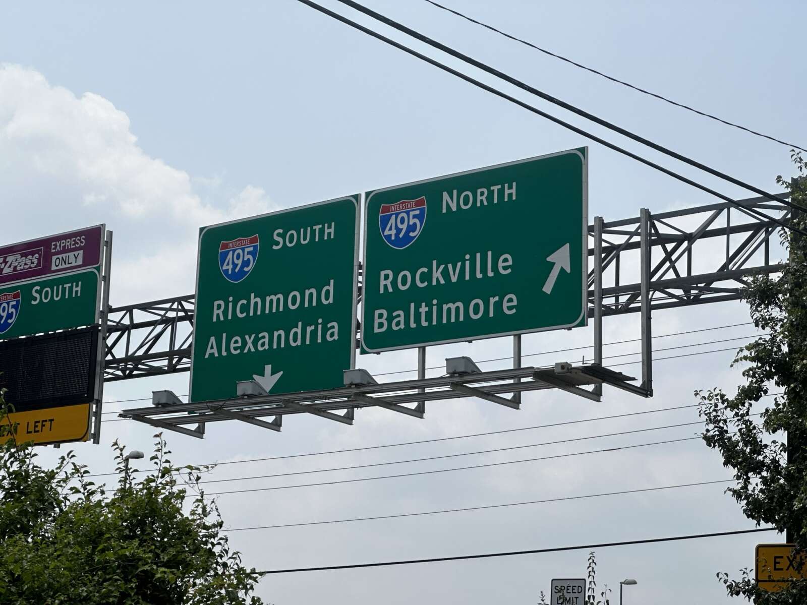
Maryland’s plans for the American Legion Bridge and its side of the Capital Beltway remain a big question mark, but its drivers at least will get a head’s up before they reach the toll lanes now under construction in McLean.
The Virginia Department of Transportation is working with its Maryland counterpart on an agreement that will enable the I-495 Northern Extension (495 NEXT) builder to install signs related to the project on the northern side of the Potomac River.
Six sign structures and accompanying power and communications utilities need to be built in Maryland so the upcoming I-495 Express Lanes can operate correctly, VDOT officials told the Commonwealth Transportation Board (CTB) at its March 19 meeting.
“We need to have signage in Maryland so people approaching our express lanes understand what to do and how it works,” Virginia Secretary of Transportation W. Sheppard Miller said. “…It’s about our cooperation with Maryland to get the things that we need in Maryland done so that our lanes will work appropriately and properly when folks get to Virginia.”
Under the agreement, VDOT and its private partner Capital Beltway Express — a joint venture of the engineering firm Fluor and toll lanes operator Transurban — will install and maintain most of the new signs, which will provide directions for using the express lanes and other messages.
Maryland will be responsible for two guide signs for the interstate’s exits that aren’t related to the express lanes, according to VDOT acting megaprojects director Michelle Shropshire.
The CTB will be asked to authorize VDOT staff to sign the agreement at a meeting in April.
Miller noted that the presentation came just a few days after the two-year anniversary of the official start of construction on 495 NEXT, which will widen 2.5 miles of I-495 from the Dulles Toll Road in Tysons to the George Washington Memorial Parkway in McLean with two express lanes in each direction.
“I remember cutting the ribbon [on] a very chilly morning in Northern Virginia. It was a great day,” he said.
The toll lanes remain on track to begin operating in December 2025, and the overall project is set to finish in May 2026, Shropshire said.
As construction continues to move along, some Fairfax County officials raised concerns last month about a lack of clarity on VDOT’s efforts to coordinate with Maryland and the impact of the road work on McLean residents, commuters and the environment.
Virginia and Maryland’s then-governors Ralph Northam and Larry Hogan announced a $1 billion agreement in 2019 to rebuild the aging American Legion Bridge and expand their respective sides of the Beltway to address traffic congestion. However, public opposition held back Maryland’s toll lanes project, and Transurban pulled out altogether last March.
Maryland signaled that it may pursue a fully public project when it applied for a federal grant in August, and officials held public open houses last fall to get feedback on a proposal that would replace and widen the bridge, along with a portion of I-270.
Last week, a federal judge dismissed a lawsuit from environmental, neighborhood and historic preservation groups seeking to block the potential project, but Maryland’s plans going forward remain unclear.
“This is an important step forward to D.C. area residents who are counting on this project to bring needed congestion relief, better transit service, and improved bike and pedestrian connections in this corridor,” said Jason Stanford, president of the Northern Virginia Transportation Alliance, which supports the toll lanes projects. “Now that this obviously frivolous lawsuit has been dismissed, it’s time for Maryland to move forward with this critical, multimodal transportation improvement for our region.”
Plaintiffs in the lawsuit included the Northern Virginia Citizens Association, a group of McLean residents who also sued VDOT last year over 495 NEXT. Residents along Live Oak Drive in particular have vocally opposed the project, lamenting the loss of trees and other environmental and health impacts.
In recent emails to VDOT officials, some reported that construction has, at times, disrupted their phone, cable and water services.
VDOT will provide an update on 495 NEXT at two public meetings next month: a virtual one on April 8 and an in-person one at Langley High School (6520 Georgetown Pike) on April 11. Both meetings will last from 6:30 to 8:30 p.m.
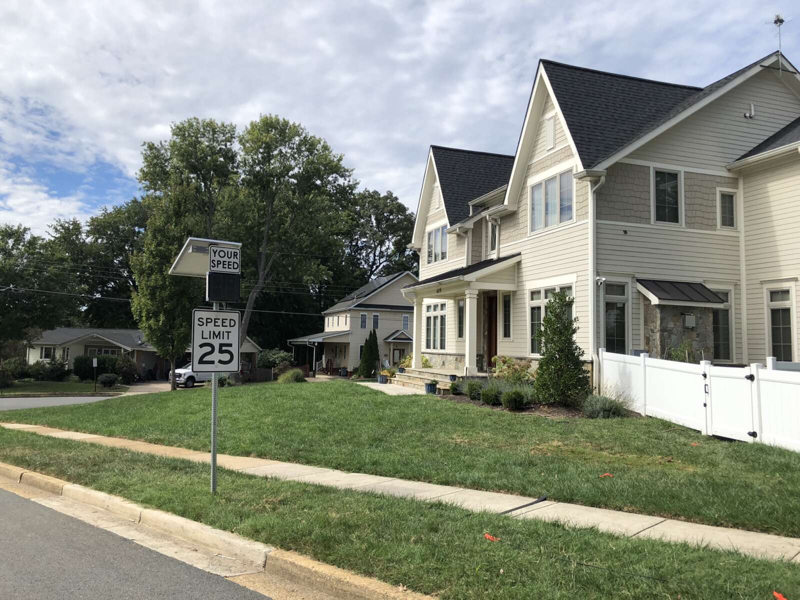
The Virginia General Assembly passed a measure three years ago allowing local governments to decrease roadway speed limits in their localities to as low as 15 mph. But recently, lawmakers found that the Virginia Department of Transportation denied seven of eight speed limit decrease requests, because, by state law, only the Commissioner of Highways can authorize changes on state-maintained roads.
Earlier this month, legislation advanced that would expand a locality’s speed-reducing authority to roadways within a business or residence district, including state-owned highways.
The number of requests represent a small fraction of the local governments in Virginia, including the 190 towns and 39 independent cities in the commonwealth, according to data from the U.S. Census. For the localities that are seeking to reduce speeding, though, the limits of the 2021 legislation are a challenge.
“Everybody can concede that there’s an issue here, but we have very little authority to do anything about it,” said Mayor Roger Vance, who represents the Town of Hillsboro, which was denied their request to lower the local speed limit to 20 mph last year.
The 2021 legislation did not extend localities’ speed reducing power to state-owned highways, which typically run through some towns like Middleburg and Hillsboro.
As proposed, the new bill would require local governments to conduct engineering and traffic studies as part of any effort to change the speed limit, post “lawfully placed” signs showing the reduced speed limit and notify the commissioner of the change.
The bill nearly failed in the Senate in February after Lt. Gov. Winsome Earle Sears split a tie vote, but it was reconsidered successfully and sent to Gov. Glenn Youngkin for approval.
Del. Betsy Carr, D-Richmond, the legislation’s sponsor, said she is working with the governor’s administration to ensure Youngkin signs her bill into law, but it could require an amendment.
Representatives from the Virginia Municipal League and Virginia Association of Counties, representing local governments in the commonwealth, said their members supported this bill.
“We firmly believe that this enhanced authority serves as an invaluable addition to our existing toolkit for implementing crucial safety measures,” said James Hutzler, government relations associate for VACO, in a statement. “With this legislation in place, counties will be empowered to take proactive steps towards safeguarding the well-being of our communities.” Read More
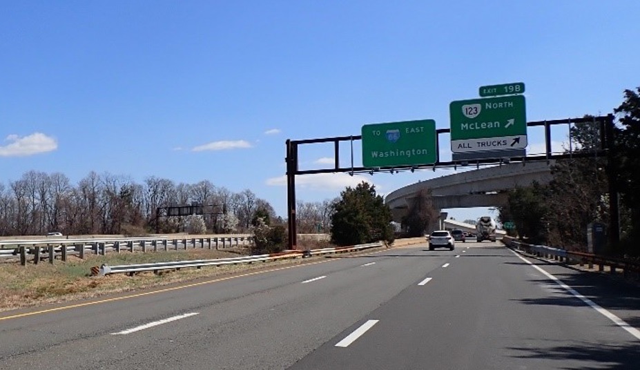
The Dulles Toll Road bridge that officially separates Tysons from McLean is in need of some major upkeep.
At a public meeting tomorrow (Thursday), the Virginia Department of Transportation will share its plans to rehabilitate the toll road’s eastbound lanes over Route 123 (Dolley Madison Blvd). The proposed project will replace the bridge’s concrete deck, parapets and steel beams.
Repairs to the piers and abutments are also planned.
“The project aims to improve safety, increase vertical clearance under the bridge and extend the overall life of the bridge,” VDOT said in a press release announcing the meeting, which will be held as a virtual webinar starting at 7 p.m.
Built in 1963, the Dulles Toll Road bridge was rehabilitated once before in 1995, according to VDOT. An average of 28,000 vehicles drive across it in a day.
VDOT currently estimates that the project will cost $12.6 million. The design phase, which is now underway, is funded by $1.3 million from the state. The source of the $11.3 million needed for construction is still being determined, but that phase isn’t expected to start until late 2025.
After the meeting, which will be recorded and posted on the project webpage, VDOT will accept public feedback on the rehabilitation online, by email (meetingcomments@vdot.virginia.gov) and by mail to structural and bridge engineer Dipali Patel at its Northern Virginia office (4975 Alliance Drive).
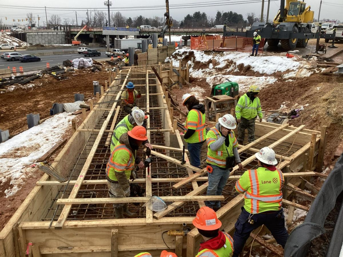
The Fairfax County Board of Supervisors wants answers now to its lingering questions about the Virginia Department of Transportation’s northern extension of the Capital Beltway (I-495) toll lanes.
County staff got the green light yesterday (Tuesday) to send a letter seeking clarity on VDOT’s coordination efforts with Maryland and plans to mitigate the environmental and traffic impacts of a construction project that has now been in progress for nearly two full years.
Dranesville District Supervisor Jimmy Bierman, who represents the McLean area most directly affected by the project, requested the letter for Virginia Transportation Secretary W. Sheppard Miller after a message that the board sent in September “inexplicably” went unanswered.
“I just think it’s absolutely ridiculous that we would send a letter to the Secretary of Transportation in September, and we’re sitting here in February and never got a response. It’s just absurd,” Bierman said at the transportation committee meeting, which he chaired.
Under construction since March 2022, the project known as 495 NEXT is adding 2.5 miles of express lanes on the Beltway from the Dulles Toll Road in Tysons past the George Washington Memorial Parkway in McLean.
VDOT has touted the widening as necessary to relieve congestion and add pedestrian, bicycle and transit connections in the corridor. Though they endorsed the project in April 2021, Fairfax County leaders — particularly Bierman’s predecessor as Dranesville District supervisor, John Foust — have warned that traffic relief will be limited without toll lanes on Maryland’s side of the Beltway.
VDOT estimates that the project would move more than twice as many additional people when coupled with Maryland toll lanes than it would as a standalone project.
After that analysis came out, however, Maryland downsized its plans to widen the Beltway and replace the aging American Legion Bridge in response to local opposition. The project stalled altogether last March when contracted toll lanes operator Transurban backed out.
Maryland officials began reviving the project last summer, proposing to widen the bridge and 6.5 miles of I-495 from the GW Parkway to I-270, Maryland Matters reported. A new design hasn’t been released, and construction isn’t expected to break ground until 2026 — a year after Virginia’s express lanes are scheduled to open.
In its September letter, the Fairfax County board urged VDOT to craft a written agreement with its Maryland counterpart to guide any work that may spill over into Virginia. Since Miller didn’t respond, there’s “prevailing uncertainty” over the local implications of Maryland’s project, according to the new draft letter. Read More
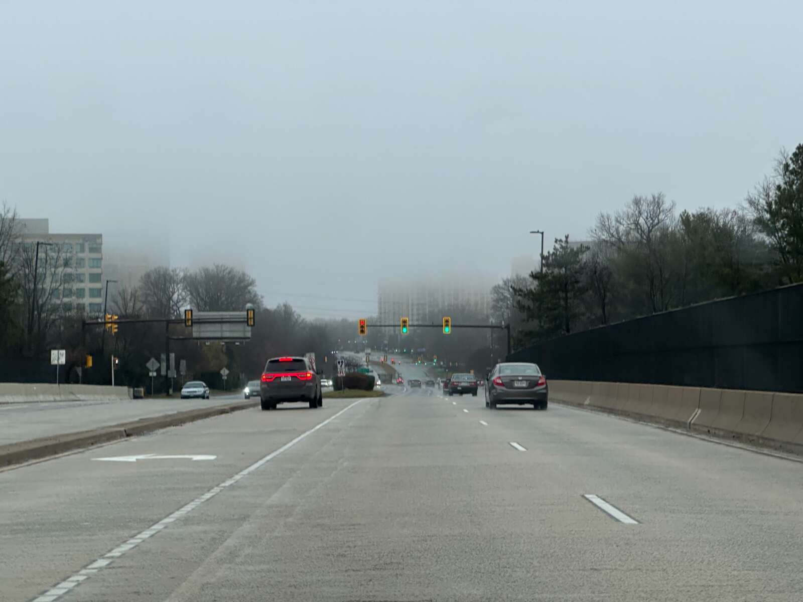
A reconstruction of a Reston Parkway bridge was completed this month after a truck crash damaged it in July.
The truck took out two beams on the bridge over the Dulles Toll Road while navigating a ramp to the toll road from southbound Reston Parkway. Transportation officials closed the left lane of the road to reduce the weight on the damaged beams after the incident.
“The repairs were completed the first week of December with final inspections completed in the middle of the month on the 14th,” Virginia Department of Transportation spokesperson Alex Liggit said by email. “Everything was completed on schedule.”
The pre-existing traffic pattern has also been restored. Since the July 10 crash, the left lane of southbound Reston Parkway was closed. The ramp to the eastbound toll road was re-striped as an exit and thru lane.
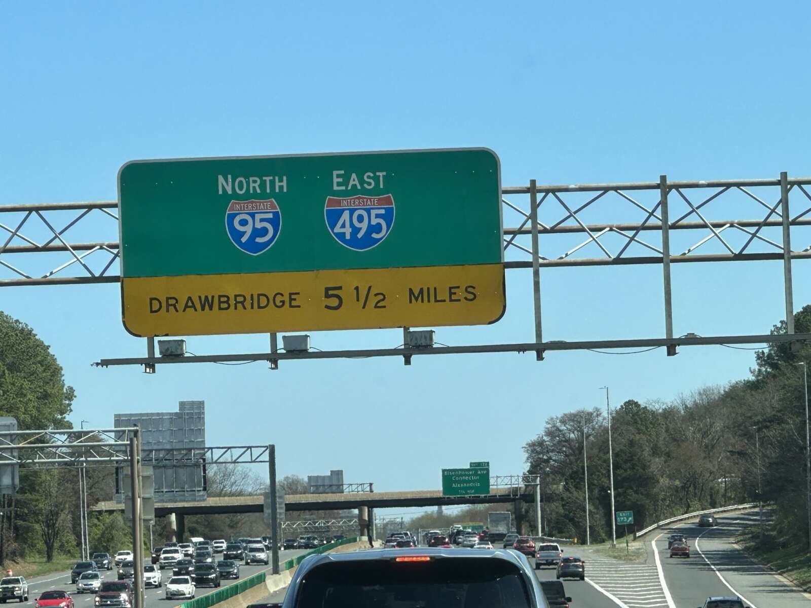
Any extension of the I-495 Express Lanes along the south side of the Capital Beltway should support additional transit options, Fairfax County leaders stressed in a recent letter to the Virginia Department of Transportation.
VDOT is currently studying options for completing the I-495 toll lanes by expanding them from the I-395/I-95 interchange in Springfield to Maryland Route 210 in Prince George’s County, an approximately 11-mile span that crosses the Woodrow Wilson Bridge in Alexandria.
At a meeting on Nov. 21, the Fairfax County Board of Supervisors approved a letter to Virginia Secretary of Transportation Sheppard Miller emphasizing the importance of accommodating transit in the project, which is intended to relieve congestion on what VDOT has said is the most heavily traveled segment of the Beltway.
“The County is appreciative that the Commonwealth is assessing solutions on the only interstate segment in Fairfax that does not have a transit benefit at this time,” the board’s letter said. “It is critical that additional travel choices are available in the Capital Beltway Corridor to move the most people as efficiently as possible in this region.”
VDOT staff presented several preliminary concepts at a public meeting on Sept. 12, including the addition of one or two general-purpose or express lanes in each direction or two reversible express lanes that would change direction with rush-hour traffic.
Staff said it has also explored adding a dedicated transit lane for buses and making adjustments that wouldn’t require new construction, such as supporting new bus routes or allowing the existing I-495 shoulders to be used as travel lanes during peak traffic periods. However, the congestion relief benefits would be limited without more space on the highway, according to the study team.
Taking a slightly more open stance than officials in Alexandria City, the Board of Supervisors didn’t comment on specific concepts, but it urged VDOT not to pursue any option that would rule out the possibility of future rail service over the Woodrow Wilson Bridge.
Opened to traffic in May 2008, the bridge was designed with a median to accommodate future transit, not with the expectation of toll lanes, Board of Supervisors Chairman Jeff McKay noted at the Nov. 21 meeting.
“From an equity standpoint, I do appreciate the fact that this is on the table, because this remains the only piece of interstate highway in Fairfax County that currently has no transit benefit whatsoever,” McKay said. “I acknowledge a failure of past efforts when projects were done to literally cut off this part of the county from the same types of transportation options that other parts of the county now have, including the communities that are sandwiched between the Springfield interchange project and the Woodrow Wilson project.”
According to the board’s letter, Fairfax County staff would support “an interim phase” without rail while Metro continues exploring how to increase capacity on its Blue, Orange and Silver lines, a study that has been underway since 2019 and could conclude by the end of this year. Read More
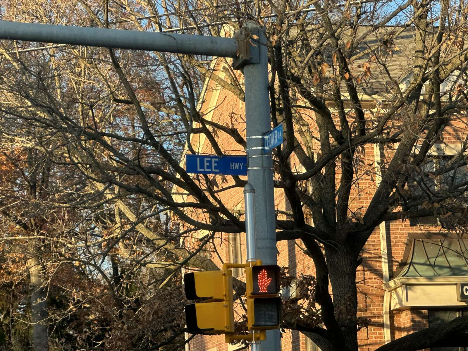
Officially, Fairfax County doesn’t have a Lee Highway or Lee-Jackson Memorial Highway anymore, but months after the names were dropped, they can still be seen on street signs throughout both corridors.
By the end of this month, that should no longer be the case — at least for smaller signs, the Fairfax County Department of Transportation says. A contractor is replacing the small blue signs at street corners with ones identifying the roadways as Route 29 and Route 50, respectively.
“This work is underway, and we anticipate this work to be complete by the end of November,” FCDOT Head of Communications Freddy Serrano told FFXnow.
The process of replacing larger, overhead directional signs, however, isn’t expected to begin until next year.
Getting those signs made and installed will be the Virginia Department of Transportation’s responsibility, though the county is covering all of the costs. A VDOT spokesperson says the department hopes to finalize an agreement with a contractor by the end of this year.
“It will involve 110 signs and it should take about two years to complete from the start of the contract that is anticipated to start in Jan. 2024,” VDOT said by email.
According to Serrano, a preliminary schedule from VDOT estimates that the overhead sign replacements will be finished by the end of 2025.
The Fairfax County Board of Supervisors voted on Sept. 13, 2022 to stop referring to routes 29 and 50 as Lee and Lee-Jackson Memorial, names adopted in the early 20th century as nods to Confederate generals Robert E. Lee and Thomas “Stonewall” Jackson.
Instead of giving the roadways entirely new names, as Arlington County did with its Route 29 segment in 2021, the board opted to use the route numbers to reduce confusion and the cost of new street signs. FCDOT staff previously said changing the signs would be more challenging for longer names.
At the time of the vote, county staff estimated that the sign updates would cost about $1.4 million. It cost about $46,000 for FCDOT’s contractor to fabricate and install the corner street signs, according to Serrano.
“Most of the costs of the sign replacement will be VDOT’s replacement of the larger overhead signs,” he said. “FCDOT will not have an updated cost estimate for that portion of the sign replacement until VDOT begins their preliminary design.”
County staff estimated it would take another $1.5 million to fund grants to help affected property owners cover expenses for updating business licenses, land records and other documents, as recommended by the Confederate Names Task Force that reviewed the proposed renamings.
On its website, FCDOT says the county “is developing” a financial assistance program, but Serrano confirmed to FFXnow that “the proposed grant program for businesses has not been approved at this time.”
The county updated addresses in its records to reflect the name changes, including for property taxes and voter registrations, on July 5.
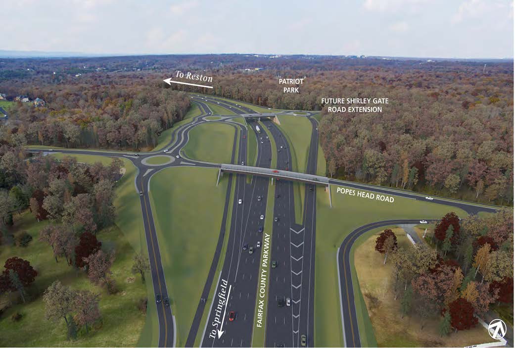
Construction on an overhaul of the Fairfax County Parkway and Popes Head Road interchange is slated to begin by the end of this year.
The Virginia Department of Transportation awarded a $49 million construction contract for the project in Fairfax Station last week to the Roanoke-based company Branch Civil, which is expected to begin on-site activities in December.
In the works since at least 2017, the project will replace the existing, four-way intersection controlled by a traffic signal with three roundabouts and two bridges over Fairfax County Parkway “that will allow traffic to flow freely,” VDOT said.
Other elements include:
- Building a short segment of the future Shirley Gate Road extension that will provide pedestrian and vehicle access to the future Patriot Park (Fairfax County is designing the rest of the Shirley Gate Road extension)
- Constructing a shared-use path linking the Fairfax County Parkway Trail to the future Patriot Park
- Reconstructing the Fairfax County Parkway Trail
- Installing a sidewalk along the north side of Popes Head Road
- Extending Ladues End Lane to the new roundabout at Popes Head Road
- Adding an acceleration lane for drivers turning from Nomes Court onto northbound Fairfax County Parkway
According to VDOT, Fairfax County Parkway carries an average of 64,000 vehicles a day, while Popes Head Road averages about 3,200 vehicles daily. The long wait at the traffic light — which state officials have said can last five minutes during peak travel times — has been a source of frustration for commuters.
The Fairfax County Board of Supervisors gave its support for the proposed redesign in May 2020. Springfield District Supervisor Pat Herrity said at the time that the project “will provide significant congestion relief and a safer route for thousands of residents,” according to The Connection.
VDOT is ultimately planning to widen Fairfax County Parkway from four to six lanes, starting with the northern section from Nomes Court to Route 29, though some have questioned the department’s use of road widenings as an answer to traffic congestion.
Earlier this year, the Fairfax County Department of Transportation revisited a 2021 study of the parkway and determined that it should be six lanes, rather than the eight that had previously been recommended. Staff also stressed the need for bicycle and pedestrian improvements, calling the completion of a trail from Reston to Fort Belvoir a top priority.
The Popes Head Road interchange also ties into plans to extend Shirley Gate Road down to the parkway from Braddock Road. Some funds for that project, which isn’t expected to start construction until 2026, were redirected in July to a project that will eliminate hills on Lee Chapel Road, where two teens were killed in a crash in January.
VDOT estimates the Popes Head Road interchange overhaul will cost a total of $92.4 million, including $78 million for construction, per its project page.
“A ‘Pardon Our Dust’ information meeting for residents and travelers is being planned in January,” VDOT said. “Construction is expected to be complete in late 2026.”

