

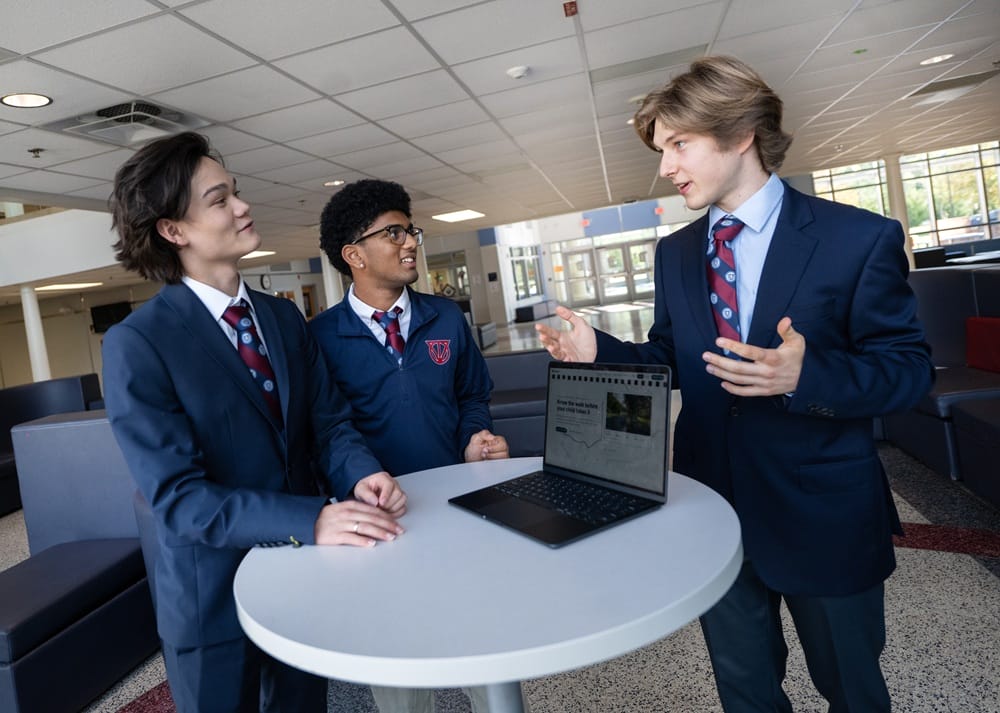
Back in March, Thomas Jefferson High School for Science & Technology student Daniil Prokofev went for an 8-mile run from the Lincolnia school to his home. That run led to the development of a web-based app that will someday be able to help all Fairfax County Public Schools students find safe routes to school.
The route Prokofev took on his run in March, suggested by Google Maps, wasn’t particularly safe, as several sections had no sidewalks and there were busy intersections to cross.
Prokofev and two of his fellow students, Isaac Leetyn and Ashwath Muppa, came up with an idea for TJ’s spring hackathon, HackTJ 13.0: they created a program to help students and parents find safe, walkable routes to schools.
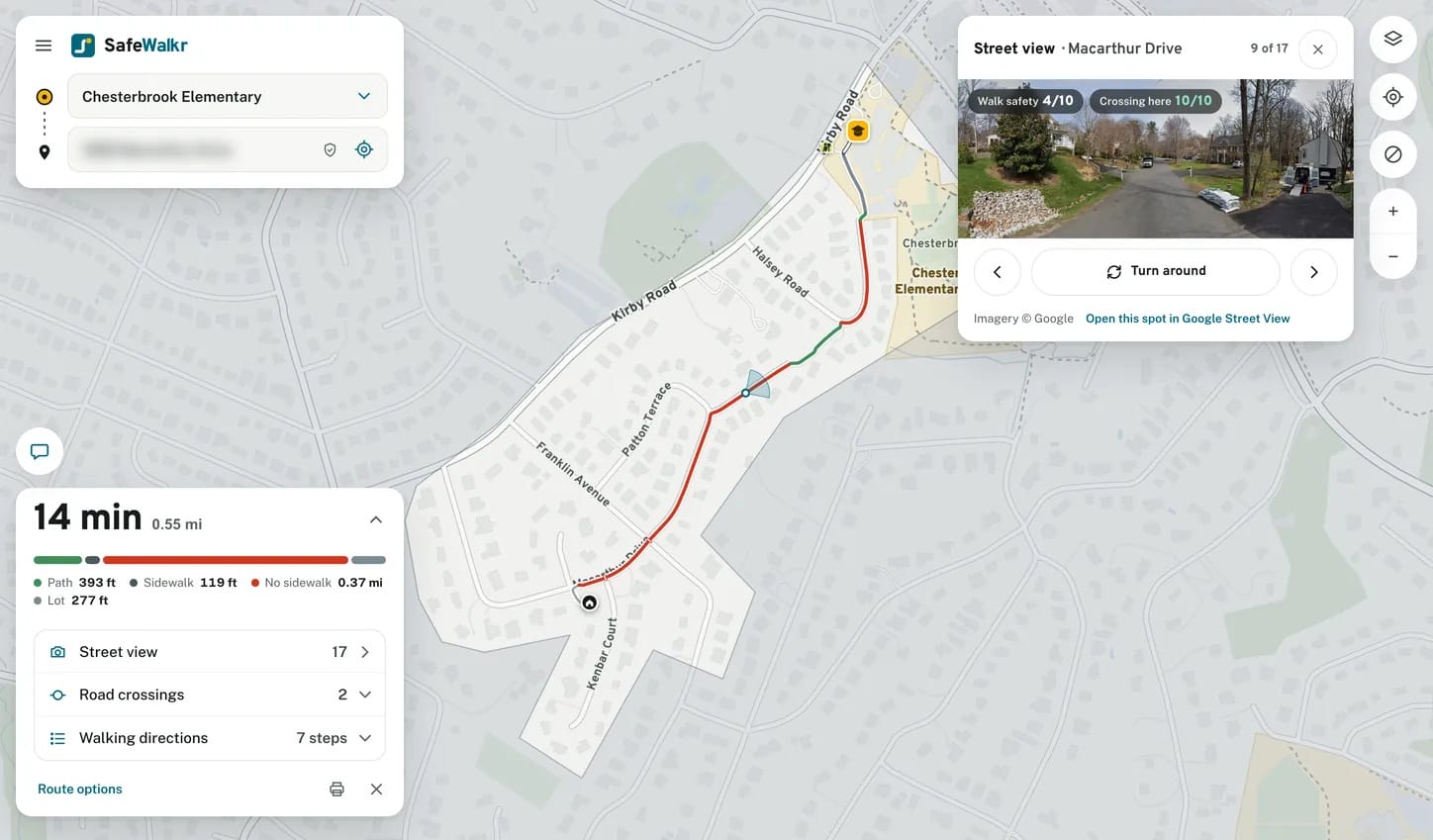
SafeWalkr optimizes routes for safety and allows parents and students to personalize their routes based on factors like areas to avoid (for example, if a student is allergic to certain plants or wants to avoid a certain house). Users can also prioritize safety factors, such as sidewalk coverage or traffic congestion.
Data sources include records from Fairfax County and FCPS, Google Maps, OpenStreetMap and other sources. The app assesses sidewalk accessibility, crosswalk availability, traffic and other factors.
In part due to safety concerns, fewer students in the U.S. are walking to school than ever before. Fairfax County is no exception to the road safety issues facing students, with numerous reported crashes since the current school year began on Aug. 24, including one that killed a Frost Middle School student.
However, walking to school has proven health benefits and helps foster a sense of community among students and parents in a school’s walk zone.
“Here’s a perfect illustration of how this school is uniquely positioned to support kids who can combine that [science and technology] value we have to the human piece,” said TJ Principal Mike Mukai. “And they can utilize the tools of tomorrow to make sure that we don’t lose that piece.”
The resulting project was so advanced that the students are now working with Fairfax County Public Schools officials to spread the program countywide.
A pilot project launched at 14 schools on Oct. 7, which was National Walk and Roll to School Day. The schools chosen for inclusion based on the results of a traffic and pedestrian survey conducted during the 2025-2026 school year are:
- Elementary schools: Annandale Terrace, Bush Hill, Cardinal Forest, Chesterbrook, Freedom Hill, Lemon Road, Kings Park, Ravensworth, McNair, and Mount Eagle
- Middle schools: Cooper and Twain
- Secondary/high schools: Hayfield Secondary and Justice High
For some students attending schools in the pilot program, walking to school is a challenge.
For example, due to its location on Telegraph Road, 90% of students in Hayfield Secondary School’s walk zone must cross a very busy road, even though there are plenty of sidewalks available. By comparison, most students who attend Chesterbrook Elementary live in a walk zone with few sidewalks but much less traffic.
More data on walk zones around each school are available through Safewalkr.com.
The FCPS Safe Routes to School (SRTS) office has been hiring people to walk, bike and map routes to school for students, but using digital tools and information already available has made the process much faster, the TJ students behind SafeWalkr noted.
The app has artificial intelligence-based systems that monitor parent feedback, so parents can report construction projects and other environmental changes that may affect other students’ routes. The app also advises users regarding what side of the street to walk on, as many streets only have sidewalks on one side of the road.
“This could be expanded — and it should be!” Mukai said. “When you’re saving lives and helping support the safety of young kids, it’s really great that it can be shared.”
All three students are in their senior year of high school and have taken classes in computer science, data structures and AI.
Still, they admitted the project has been harder to maintain and improve than it was to create in the first place. To get the app working for students at schools other than TJ, they have had multiple meetings with FCPS information security officials and other administrators.
While the priority is expanding this program to more FCPS schools, “we’re looking to expand it beyond Fairfax County,” Prokofev said.
The team has also received feedback that people would like to use this in their normal life, not just for walking specifically to and from school. Doing so would require significant additional programming, however.
“We’ve had extremely positive feedback from the parents, and it’s been a blast to have the project in implementation [as] something students can actually use,” Isaac Leetyn said.
