

On another hot, muggy summer day, dozens of volunteers are fanning out across Northern Virginia to find the region’s hottest neighborhoods.
The “Urban Heat Island Mapping Project,” led by George Mason University’s Virginia Climate Center and the local nonprofit Faith Alliance for Climate Solutions (FACS), involves more than 30 teams with at least two volunteer scientists each measuring temperatures and humidity at different locations.
The resulting data is expected to constitute “the most granular measurement of heat ever attempted throughout Northern Virginia,” according to FACS Executive Director Chris Topoleski.
“We know that neighborhoods with few trees and a lot of asphalt can be dangerously hot in summer,” Topoleski said in a press release. “Once we’re done, we’ll know how hot these neighborhoods are.”
Recruited over the past month, the volunteer “citizen scientists” have been assigned to take measurements along 30 routes selected by the Virginia Climate Center in Fairfax, Arlington and Alexandria City. Twenty-three of the routes are in Fairfax County, spanning Culmore to Mount Vernon, Reston to Tysons, Chantilly to Kings Park West and many other neighborhoods in between.
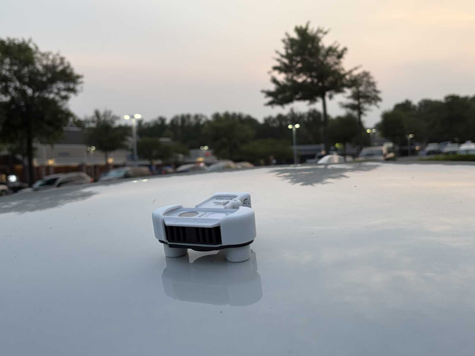
Staging at the American Red Cross’ Northern Virginia headquarters (8550 Arlington Blvd) in Merrifield, the teams first traveled along their routes this morning (Thursday) from 6-8 a.m. in a vehicle with a rooftop sensor to gather data that’s then transmitted to GMU via a mobile app.
Additional measurements will be taken in the afternoon from 2-4 p.m. and this evening around 6-8 p.m.
According to the press release, July 16 was chosen as “measurement day” for the initiative because the Virginia Climate Center forecast that it would be one of the hottest days of the year.
As did yesterday and earlier in July, the high temperature could flirt with triple degrees in Fairfax County, per the National Weather Service. In addition, the Virginia Department of Environmental Quality has issued a Code Orange air quality alert for Northern Virginia, meaning pollutants could create unhealthy conditions for children and people with respiratory challenges like asthma.
The collected data will be used by the Virginia Climate Center to create high-resolution heat maps showing the areas most susceptible to extreme heat. Those heat islands typically occur in more populated and developed neighborhoods where there’s an abundance of asphalt and limited tree canopy.
An interactive map released in 2022 by Fairfax County as part of its Resilient Fairfax initiative showed pockets of heat in Tysons, Merrifield, Fair Oaks, Springfield, Bailey’s Crossroads, Chantilly, and the Reston and Herndon area along the Dulles Toll Road. That map, however, was based on data from 2013 through 2020.
The GMU and FACS project will provide updated information for Fairfax, while also looking at Arlington and Alexandria. A similar mapping effort conducted in D.C. and Baltimore in 2018 found that temperatures in different parts of the District varied by as much as 17 degrees on a single day.
“Heat risk is on the rise and Virginians are already feeling the impacts,” said James Kinter, director of the Virginia Climate Center and Center for Ocean Land Atmosphere Studies. “High temperatures and humidity can lead to heat stress, heat stroke, and even death.”
Expected to be completed on Oct. 1, the urban heat island maps will be shared with local elected officials and staff “to inform policy decisions such as tree canopy expansion and other initiatives,” FACS said.
The Virginia Climate Center could undertake more research projects like this in the future. Based on Mason’s Fairfax campus in the College of Science, the center will host Virginia’s new State Climate Office, as authorized by the biennial budget adopted in June by the General Assembly.
