

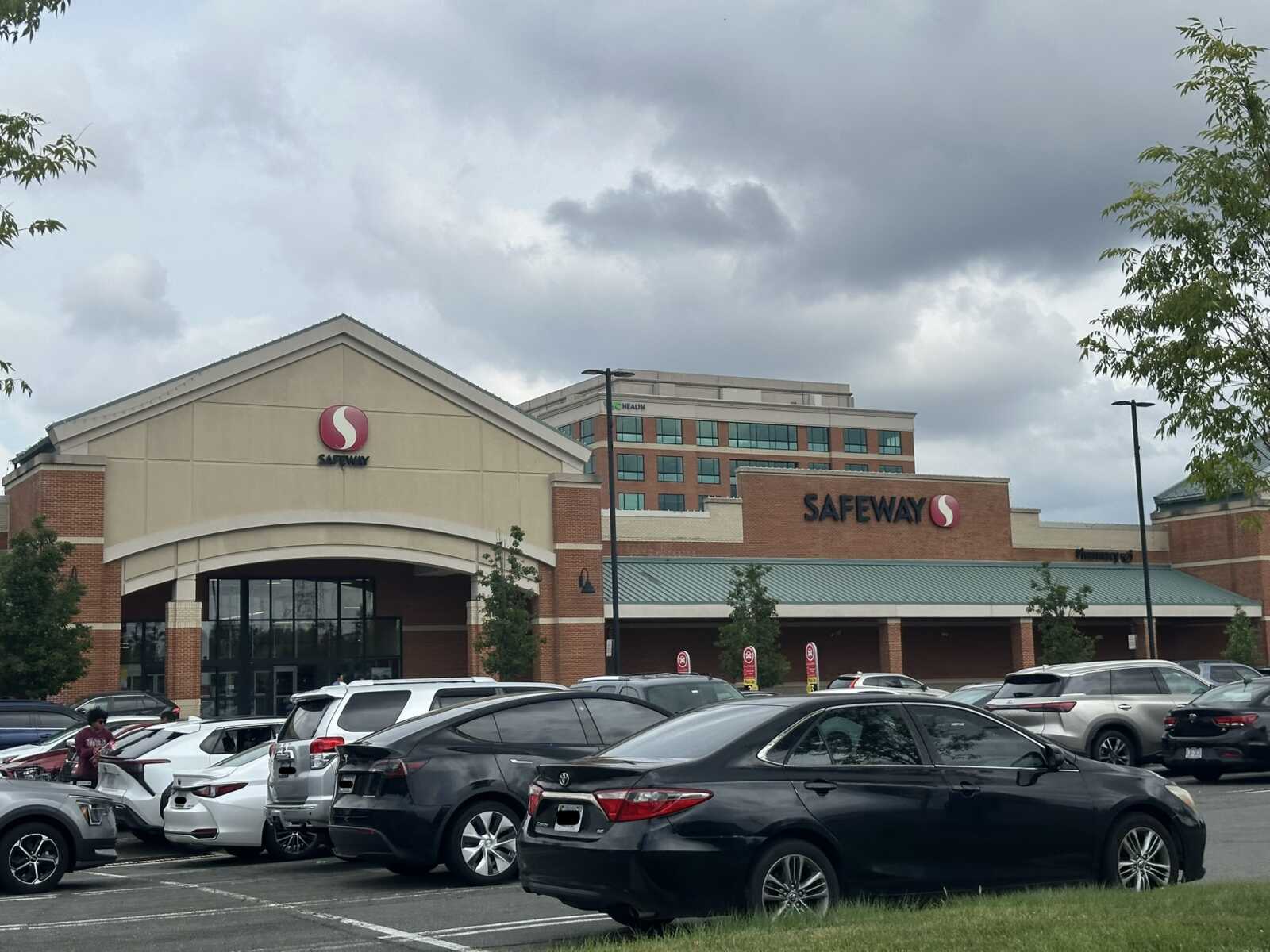
Skies look sunny where FFXnow is working in Vienna, as of press time, but the National Weather Service thinks that could change fast this evening.
The NWS has issued a Tornado Watch for Fairfax County and the rest of the D.C. region. Scheduled to stay in effect until 10 p.m. today (Wednesday), the alert replaces a Severe Thunderstorm Watch issued earlier this afternoon.
According to the NWS, “a few” tornadoes are possible, along with isolated hail and scattered wind gusts of up to 70 mph. Noting that flash flooding is also possible, the agency’s Storm Prediction Center is forecasting a “slight risk” of severe thunderstorms across the Mid-Atlantic, as of 4 p.m.
From the prediction center’s 3:50 p.m. forecast:
An unsettled weather pattern continues for the eastern U.S. as an upper trough deepens over the region. At the surface, frontal boundaries connected to a strong surface low over southern Canada and draped across the Ohio Valley, Mid-Atlantic, and Northeast will reinforce ongoing showers and thunderstorms. The strengthening low, strong instability, increasing moisture, and relatively weak storm motions will favor repeated rounds of heavy rainfall and thunderstorms along the frontal zone across the Carolinas, Appalachians, Mid-Atlantic, and New England through this evening and overnight. With the high rainfall rates and back-building nature of these storms, numerous instances of flash flooding are likely, some of which may be significant.
Fairfax County’s Department of Emergency Management and Security advised residents to “stay alert, have multiple ways to receive warnings, and be prepared to take shelter if a warning is issued.”
A tornado watch has been issued for parts of Delaware, District of Columbia, Maryland, New Jersey, Pennsylvania and Virginia until 10 PM EDT pic.twitter.com/tKjdMxh3X2
— NWS Baltimore-Washington (@NWS_BaltWash) July 28, 2026
⚠️ Tornado Watch until 10 PM. Stay alert, have multiple ways to receive warnings, and be prepared to take shelter if a warning is issued. pic.twitter.com/xLIbKK5VZk
— Ready Fairfax (@ReadyFairfax) July 28, 2026
