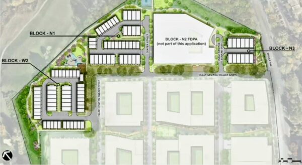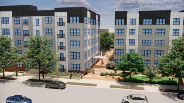
The Fairfax County Planning Commission unanimously recommended approval at its July 22 meeting of a proposal that could more than quadruple the number of residential units at the Merrifield at Dunn Loring Station Apartments.
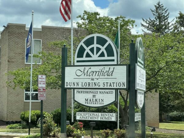
County staff’s comprehensive plan amendment would pave the way for Malkin Properties — which has owned the 35-acre garden-apartment complex at 8130 Prescott Drive since its construction in the late 1960s — to replace the existing 706 units in phases with up to 2,975 apartments in high-rise and mid-rise buildings near the Dunn Loring Metro station.