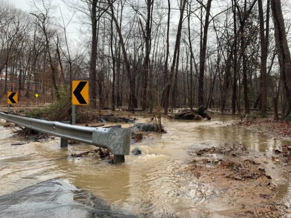
Fairfax County is under a Flood Watch until midnight.
The National Weather Service issued the watch this morning, noting flash flooding caused by excessive rainfall is possible after 3 p.m.
Showers and thunderstorms are expected later this afternoon into the evening, according to the National Weather Service. There will be heavy rainfall at times, with predicted rainfall amounts of 1 to 3 inches within the span of a couple of hours, according to the Flood Watch.
A Hazardous Weather Outlook in the county states damaging winds and hail are also possible.
Showers and thunderstorms are likely, mainly between 3 PM and 11
PM. A Flash Flood Watch for potential flash flooding is in effect
near and west of Interstate 95 during this time. Isolated
instances of flooding can`t be ruled out further east.In addition, a few storms may become severe with damaging wind
gusts and large hail. An isolated tornado can`t be ruled out.
The #Flood Watch for potential flash flooding this afternoon and evening has been expanded eastward into the I-95 corridor. Heavy #rain from thunderstorms may lead to rapid rises of water in creeks, streams, and in poor drainage areas. pic.twitter.com/MtfzQDadcQ
— NWS Baltimore-Washington (@NWS_BaltWash) June 22, 2022
[6/22/22 at 1:30 PM] A Flood Watch is in effect this afternoon until 11 PM. Heavy rain from thunderstorms may lead to rapid rises of water in creeks, streams, and in poor drainage areas. Please stay weather aware. #VaWx pic.twitter.com/oSgtmhUVd0
— Ready Fairfax (@ReadyFairfax) June 22, 2022


